Tāfuna
Tāfuna ist ein Dorf an der Südküste der Insel Tutuila von Amerikanisch-Samoa. Es liegt 2 km nördlich vom Pago Pago International Airport und 2 km südlich von Nuʻuuli. Tāfuna ist das größte Dorf in Amerikanisch-Samoa und das Zentrum des Nachtlebens auf der Insel.
| Tāfuna | |||
|---|---|---|---|
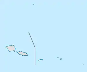
Lage auf Amerikanisch-Samoa | |||
| Basisdaten | |||
| Staat: | Vereinigte Staaten | ||
| Außengebiet: | Amerikanisch-Samoa | ||
| Distrikt: | Western District | ||
| Koordinaten: | 14° 20′ S, 170° 43′ W | ||
| Zeitzone: | Samoa Time Zone (UTC−11) | ||
| Einwohner: | 7.945 (Stand: 2010) | ||
| Fläche: | 6,54 km² (ca. 3 mi²) | ||
| Postleitzahl: | 96799 | ||
This article is issued from Wikipedia. The text is licensed under Creative Commons - Attribution - Sharealike. The authors of the article are listed here. Additional terms may apply for the media files, click on images to show image meta data.
