Tête de Ferret
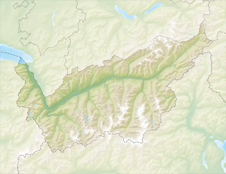
Der Tête de Ferret ist 2713 m ü. M.[1] hoch und liegt östlich des Mont-Blanc-Massivs auf der Grenze zwischen dem Kanton Wallis in der Schweiz und dem Aostatal in Italien. Er trennt das italienische Val Ferret im Westen und das schweizerische Val Ferret im Osten.
| Tête de Ferret | ||
|---|---|---|
| Höhe | 2713 m ü. M. | |
| Lage | Grenze Kanton Wallis (Schweiz) / Aostatal (Italien) | |
| Gebirge | Walliser Alpen | |
| Schartenhöhe | 192 m ↓ Die Scharte liegt östlich des Grand Col Ferret auf 2’522 Metern. | |
| Koordinaten | 571887 / 82670 | |
| ||
Nördlich des Tête de Ferret verläuft der Petit Col Ferret, südlich davon der Grand Col Ferret.
Weblinks
- Der Tête de Ferret auf hikr.org
Einzelnachweise
This article is issued from Wikipedia. The text is licensed under Creative Commons - Attribution - Sharealike. The authors of the article are listed here. Additional terms may apply for the media files, click on images to show image meta data.
