Star Valley (Arizona)
Star Valley war ein Census-designated place im Gila County im US-Bundesstaat Arizona; er wurde 2005 zur Town erhoben. Star Valley hat 1536 Einwohner auf einer Fläche von 16,5 km². Das Dorf wird von der Arizona State Route 260 tangiert. Der nächste Flughafen, der Payson Airport, liegt in Payson.
| Star Valley | |
|---|---|
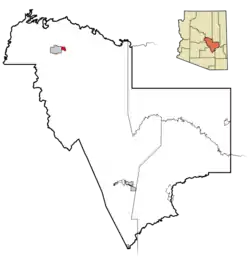 Lage im County und in Arizona | |
| Basisdaten | |
| Gründung: | 2005 |
| Staat: | Vereinigte Staaten |
| Bundesstaat: | Arizona |
| County: | Gila County |
| Koordinaten: | 34° 15′ N, 111° 15′ W |
| Zeitzone: | Mountain Standard Time (UTC−7) |
| Einwohner: | 2.484 (Stand: 2020) |
| Fläche: | 16,5 km² (ca. 6 mi²) davon 16,4 km² (ca. 6 mi²) Land |
| Höhe: | 1492 m |
| Postleitzahl: | 85541 |
| Vorwahl: | +1 928 |
| FIPS: | 04-69480 |
| GNIS-ID: | 34798 |
| Website: | starvalleyaz.com |
This article is issued from Wikipedia. The text is licensed under Creative Commons - Attribution - Sharealike. The authors of the article are listed here. Additional terms may apply for the media files, click on images to show image meta data.