Standing Rock (Alabama)
Standing Rock ist ein von der Volkszählung ausgewiesener Ort (Census-designated place, CDP) und eine nicht rechtsfähige Gemeinde im Chambers County im Bundesstaat Alabama in den USA.
| Standing Rock | |||
|---|---|---|---|
 Standing Rock Ortsschild 2021 | |||
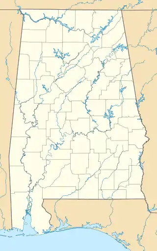
| Lage in Alabama | |||
| |||
| Basisdaten | |||
| Staat: | Vereinigte Staaten | ||
| Bundesstaat: | Alabama | ||
| County: | Chambers County | ||
| Koordinaten: | 33° 5′ N, 85° 15′ W | ||
| Zeitzone: | Central (UTC−6/−5) | ||
| Einwohner: | 132 (Stand: 2020) | ||
| Fläche: | 62,86 km² (ca. 24 mi²) davon 62,52 km² (ca. 24 mi²) Land | ||
| Postleitzahl: | 36555 | ||
| Vorwahl: | +1 334 | ||
| FIPS: | 01-72720 | ||
| GNIS-ID: | 2582701 127300, 2582701 | ||
Demografie
Die Bevölkerung war 168 bei der Volkszählung 2010.[1] Es hat eine Einwohnerdichte von rund 2,7 Einwohnern je km².
Bevölkerungsentwicklung
| Jahr | Einwohner |
|---|---|
| 1920 | 698 |
| 2010 | 168 |
Geografie
Nach Angaben des United States Census Bureau hat Standing Rock eine Gesamtfläche von 62,86 km², von denen 62,52 km² Land und 0,34 km² Wasser sind.[2] Es liegt 208 Meter über dem Meeresspiegel.
Einzelnachweise
- American FactFinder - Results. 12. Februar 2020, abgerufen am 5. April 2021.
- the National Association of Counties: How much do you know about your county? Abgerufen am 5. April 2021.
- Standing Rock, AL - Standing Rock, Alabama Map & Directions - MapQuest. Abgerufen am 5. April 2021 (englisch).
This article is issued from Wikipedia. The text is licensed under Creative Commons - Attribution - Sharealike. The authors of the article are listed here. Additional terms may apply for the media files, click on images to show image meta data.
