Sparrhoru
Das Sparrhoru (Sparrhorn) ist ein Berg in der Gemeinde Naters im Schweizer Kanton Wallis mit einer Höhe von 3020 m ü. M.
| Sparrhoru | ||
|---|---|---|

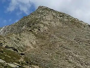
Gipfel des Sparrhoru | ||
| Höhe | 3020 m ü. M. | |
| Lage | Kanton Wallis, Schweiz | |
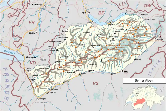
| Gebirge | Berner Alpen | |
| Koordinaten | 641945 / 139368 | |
| ||
Erreichbar ist der Gipfel über einen Bergwanderweg im Schwierigkeitsgrad T3 von Belalp aus. Bis Hohbiel (2676 m) führt auch eine Sesselbahn.
Literatur
- Wanderkarte 1:50'000, Blatt 264T Jungfrau. Bundesamt für Landestopografie, Wabern 2020, ISBN 978-3-302-30264-5.
Weblinks
Commons: Sparrhorn – Sammlung von Bildern, Videos und Audiodateien
This article is issued from Wikipedia. The text is licensed under Creative Commons - Attribution - Sharealike. The authors of the article are listed here. Additional terms may apply for the media files, click on images to show image meta data.
