Skørping Sogn
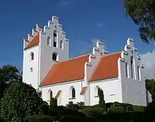
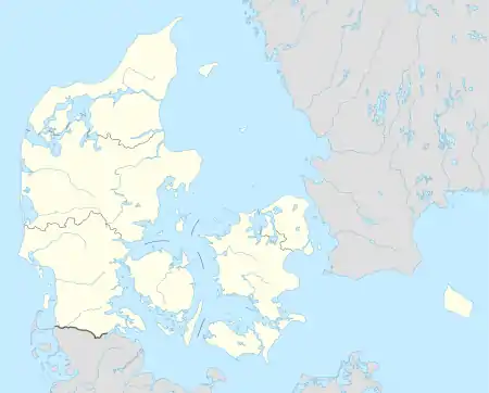
Skørping Sogn ist eine Kirchspielsgemeinde (dän.: Sogn) nördlich des Waldgebietes Rold Skov auf der jütischen Halbinsel Himmerland im Norden Dänemarks. Die Gemeinde liegt in der Rebild Kommune. Bis zur Kommunalreform von 1970 gehörte sie zur Harde Hellum Herred im Ålborg Amt. In Skørping Sogn liegen Skørping Kirke und Skørping Nykirke.
| Skørping Sogn | |||||
| |||||
| Basisdaten | |||||
|---|---|---|---|---|---|
| Staat: | |||||
| Region: | Nordjylland | ||||
| Landesteil: | Nordjylland | ||||
| Kommune (seit 2007): | Rebild | ||||
| Harde/Amt: (bis März 1970) | Hellum Herred Nordjyllands Amt | ||||
| Koordinaten: | 56° 50′ N, 9° 53′ O | ||||
| Einwohner: | 3.015 | ||||
| Postleitzahl: | 9520 Skørping | ||||
| Website: | sogn.dk/skoerping/ | ||||
 Skørping Nykirke | |||||
In Skørping Sogn liegen die folgenden autorisierten Ortsnamen:
- Bjergeskov (Areal)
- Brændeskov (Areal)
- Fræer Purker (Areal)
- Gammel Skørping (Bebauung)
- Hellumtved (Bebauung)
- Mosskov (Bebauung)
- Mossø (Wasserareal)
- Mørkeskov (Areal)
- Nørreskov (Areal)
- Ottrup Huse (Bebauung)
- Rebild (Bebauung, Grundstück)
- Rebild Bakker (Areal)
- Rebild Skovhuse (Bebauung)
- Rebildtved (Bebauung)
- Skindbjerg (Bebauung, Grundstück)
- Skindbjerglund (Areal, Bebauung)
- Skørping (Bebauung, Grundstück)
- Skørping Lund (Areal)
- Skørpingholme (Bebauung)
- Store Økssø (Wasserareal)
- Sønderskov (Areal)
- Vedsted Skov (Areal)
- Vælderskov (Areal)
Weblinks
This article is issued from Wikipedia. The text is licensed under Creative Commons - Attribution - Sharealike. The authors of the article are listed here. Additional terms may apply for the media files, click on images to show image meta data.

