Saboria (Berg)
Der Saboria (Sadoria) ist ein osttimoresischer Berg im Suco Liurai (Maubisse, Gemeinde Ainaro). Er hat eine Höhe von 2495 m[1] (andere Quelle: 2512 m)[2].
| Saboria | ||
|---|---|---|
| Höhe | 2495 m | |
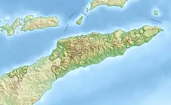
| Lage | Liurai, Maubisse, Gemeinde Ainaro, Osttimor | |
| Koordinaten | 8° 52′ 25″ S, 125° 32′ 16″ O | |
| ||
| Typ | Karst | |
| Gestein | Kalkstein | |
Seit 2000 sind der Gipfel über 2000 m und die umliegenden Wälder ein Wildschutzgebiet.[3]
Einzelnachweise
- Lonely Planet: East Timor
- Geonames - Highest mountains in East Timor
- UNTAET Reulation No. 2000/19 - On protected places (Memento vom 18. Oktober 2000 im Internet Archive) (PDF-Datei; 39 kB)
Siehe auch
Änderung der administrativen Grenzen Osttimor
Die administrativen Grenzen innerhalb Osttimors haben sich 2015 geändert. Dieser Artikel muss daher geprüft und gegebenenfalls aktualisiert werden. Siehe Neue administrative Grenzen.
This article is issued from Wikipedia. The text is licensed under Creative Commons - Attribution - Sharealike. The authors of the article are listed here. Additional terms may apply for the media files, click on images to show image meta data.