Rotkopf (Mangfallgebirge)
Der Rotkopf ist ein 1602 m hoher Berg im Mangfallgebirge. Der Berg ist als einfache Bergwanderung vom Spitzingsee zu erreichen. Übergänge zu Stolzenberg, Roßkopf und Stümpfling.
| Rotkopf | ||
|---|---|---|
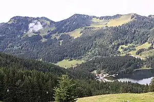
Stolzenberg (links), Rotkopf (Mitte) und Roßkopf (rechts) im bayerischen Mangfallgebirge südöstlich des Spitzingsees (rechts unten) | ||
| Höhe | 1602 m ü. NN | |
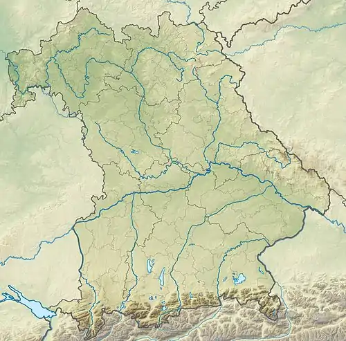
| Lage | Bayern, Deutschland | |
| Gebirge | Mangfallgebirge | |
| Koordinaten | 47° 38′ 54″ N, 11° 51′ 59″ O | |
| ||
| Normalweg | vom Spitzingsee | |
Weblinks
This article is issued from Wikipedia. The text is licensed under Creative Commons - Attribution - Sharealike. The authors of the article are listed here. Additional terms may apply for the media files, click on images to show image meta data.