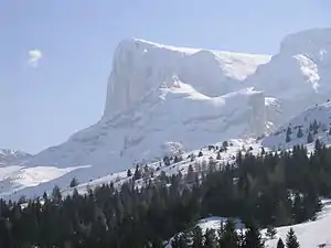
Pic de Bure
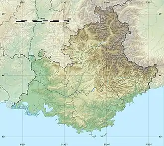
Der Pic de Bure ist ein 2709 Meter hoher Berg im Dévoluy-Massiv, einem den Dauphiné-Alpen westlich vorgelagerten Gebirgsstock der Französischen Kalkalpen. Er liegt im französischen Département Hautes-Alpes.
| Pic de Bure | ||
|---|---|---|
Pic de Bure | ||
| Höhe | 2709 m | |
| Lage | Département Hautes-Alpes, Frankreich | |
| Gebirge | Dévoluy-Massiv, Alpen | |
| Koordinaten | 44° 37′ 37″ N, 5° 56′ 3″ O | |
| ||
Weblinks
Commons: Pic de Bure – Sammlung von Bildern, Videos und Audiodateien
Literatur und Karte
- Institut Géographique National, Wanderkarte 1:25.000, Blatt 3337 OT, Dévoluy, Obiou, Pic de Bure
This article is issued from Wikipedia. The text is licensed under Creative Commons - Attribution - Sharealike. The authors of the article are listed here. Additional terms may apply for the media files, click on images to show image meta data.