Philipp’s Village
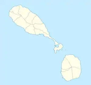
Philipp’s Village ist eine Siedlung auf der Insel St. Kitts im Inselstaat St. Kitts und Nevis in der Karibik.
| Philipp’s Village Philipp’s Village | |||
|---|---|---|---|
| |||
| Koordinaten | 17° 22′ N, 62° 46′ W | ||
| Basisdaten | |||
| Staat | St. Kitts und Nevis | ||
| St. Kitts | |||
Geographie
Die Siedlung liegt im Parish Saint Mary Cayon zentral an der Nordküste der Insel. Das Ortsgebiet wird bestimmt durch den Verlauf des Bakers Gut und liegt zwischen Nichola Town und Ottley’s.[1] Im Ortsgebiet steht die Calvary Baptist Church.
Einzelnachweise
- Philipp’s Village bei geonames.org.
This article is issued from Wikipedia. The text is licensed under Creative Commons - Attribution - Sharealike. The authors of the article are listed here. Additional terms may apply for the media files, click on images to show image meta data.
