Pano Akourdaleia
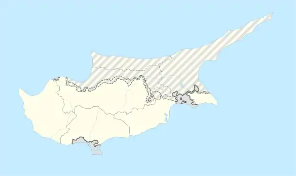
Pano Akourdaleia, griechisch Πάνω Ακουρδάλεια, ist ein Dorf im Bezirk Paphos auf der Mittelmeerinsel Zypern. Der Ort liegt nördlich der Bezirkshauptstadt Pafos zwischen Peyia und Polis Chrysochous nahe dem Dorf Terra und dem Evretou-Stausee.
| Πάνω Ακουρδάλεια Pano Akourdaleia - | |||
|---|---|---|---|
| |||
| Basisdaten | |||
| Staat: | |||
| Bezirk: | |||
| Geographische Koordinaten: | 34° 57′ N, 32° 27′ O | ||
| Einwohner: | 26 () | ||
| Postleitzahl: | 8722 | ||
.jpg.webp)
Zur Zeit der Venezianischen Herrschaft über Zypern (15./16. Jahrhundert) führte der Ort den Namen Quardia.
Persönlichkeiten
- Takis Hadjigeorgiou (* 1956), Politiker
Acheleia | Agia Marina Chrysochous | Agia Marina Kelokedaron | Agia Marinouda | Agia Varvara | Agios Dimitrianos | Agios Georgios | Agios Ioannis | Agios Isidoros | Agios Nikolaos | Akoursos | Amargeti | Anadiou | Anarita | Androlikou | Argaka | Arminou | Armou | Asprogia | Axylou | Chlorakas | Choletria | Choli | Choulou | Chrysochou | Drouseia | Drymou | Eledio | Empa | Episkopi | Evretou | Faleia | Fasli | Fasoula | Filousa Chrysochous | Filousa Kelokedaron | Foinikas | Fyti | Galataria | Geroskipou | Gialia | Giolou | Goudi | Ineia | Kallepeia | Kannaviou | Karamoullides | Kathikas | Kato Akourdaleia | Kato Arodes | Kedares | Kelokedara | Kidasi | Kissonerga | Koili | Koilineia | Konia | Kouklia | Kourdaka | Kritou Marottou | Kritou Tera | Kynousa | Lapithiou | Lasa | Lemona | Lemba | Letymvou | Livadi | Loukrounou | Lysos | Makounta | Mamonia | Mamountali | Mandria | Marathounta | Maronas | Meladeia | Melandra | Mesa Chorio | Mesana | Mesogi | Milia | Miliou | Mousere | Nata | Nea Dimmata | Neo Chorio | Nikokleia | Paphos | Pano Akourdaleia | Pano Archimandrita | Pano Arodes | Pano Panagia | Pegeia | Pelathousa | Pentalia | Peristerona | Pitargou | Polemi | Polis | Pomos | Praitori | Prastio | Psathi | Salamiou | Sarama | Simou | Skoulli | Souskiou | Statos-Agios Fotios | Stavrokonnou | Steni | Stroumpi | Tala | Terra | Theletra | Thrinia | Timi | Trachypedoula | Tremithousa | Trimithousa | Tsada | Vretsia | Zacharia