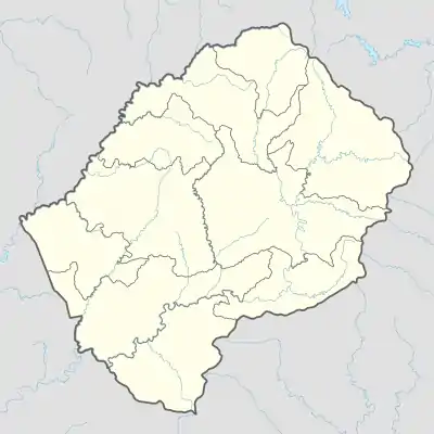
Naturschutzgebiete in Lesotho
Naturschutzgebiete in Lesotho nehmen laut IUCN nur 0,26 Prozent der Landfläche ein.[1]
Nationaler Status der wichtigsten Schutzgebiete: |
Schutzgebiete
| Name | Größe (km²) | Proklamation | Besonderheiten | Nationaler Status | IUCN-Kategorie | Lage |
|---|---|---|---|---|---|---|
| Bokong-Naturreservat | 19,72[2] | als Biosphärenreservat vorgeschlagen[3] | 29° 4′ 8,4″ S, 28° 25′ 30″ O | |||
| Botanischer Garten[2] | 0,015 | |||||
| Lets'eng-la-Letsie | 4,34 | 2004 | Ramsar-Gebiet | 30° 18′ 35,2″ S, 28° 9′ 56,4″ O | ||
| Liphofung-Denkmal und Reservat[2] | 0,04 | |||||
| Masitise-Naturreservat[2] | 0,2 | |||||
| Muela-Naturreservat[2] | 0,45 | |||||
| Sehlabathebe-Nationalpark | 64,75–69,52 | 1970 | seit 2013 UNESCO-Welterbe | Nationalpark | IV (Nationalpark) | 29° 54′ 0″ S, 29° 7′ 0″ O |
| Ts’ehlanyane-Nationalpark | 6324,02 bzw. 53[2] | als Biosphärenreservat vorgeschlagen[3] | Nationalpark Naturreservat | 29° 0′ 0″ S, 28° 25′ 0″ O |
Siehe auch
Literatur
- Donald N. McVean: Nature Conservation in Lesotho, International Union for Conservation of Nature and Natural Resources, Morges/Schweiz, 1997. (online abrufbar)
Weblinks
Einzelnachweise
- Lesotho, Africa. Protectedplanet/IUCN. Abgerufen am 4. Juni 2019. (englisch)
- 2017 Environment Report. Bureau of Statistics, 2017, S. 20.
- Govt nominates biosphere reserves. In: Sunday Express, 13. März 2018. (englisch)
This article is issued from Wikipedia. The text is licensed under Creative Commons - Attribution - Sharealike. The authors of the article are listed here. Additional terms may apply for the media files, click on images to show image meta data.

