Napoleon (Missouri)
Napoleon ist eine Ortschaft im Lafayette County im US-Bundesstaat Missouri. Laut Volkszählung im Jahr 2000 hatte sie eine Einwohnerzahl von 208 auf einer Fläche von 4,5 km². Die Bevölkerungsdichte liegt bei 46 pro km².
| Dieser Artikel wurde aufgrund von inhaltlichen Mängeln auf der Qualitätssicherungsseite des Projektes USA eingetragen. Hilf mit, die Qualität dieses Artikels auf ein akzeptables Niveau zu bringen, und beteilige dich an der Diskussion! Eine nähere Beschreibung der zu behebenden Mängel fehlt. | .svg.png.webp) |
| Napoleon | |||
|---|---|---|---|
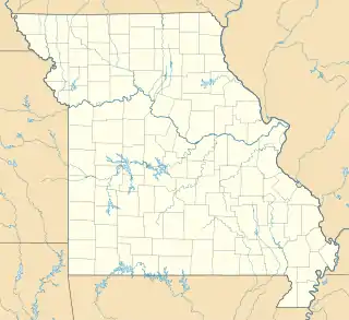
Lage in Missouri | |||
| Basisdaten | |||
| Gründung: | 1836 | ||
| Staat: | Vereinigte Staaten | ||
| Bundesstaat: | Missouri | ||
| County: | Lafayette County | ||
| Koordinaten: | 39° 8′ N, 94° 4′ W | ||
| Zeitzone: | Central (UTC−6/−5) | ||
| Einwohner: – Metropolregion: | 211 (Stand: 2020) 2.067.585 (Stand: 2009) | ||
| Fläche: | 4,5 km² (ca. 2 mi²) davon 4,5 km² (ca. 2 mi²) Land | ||
| Höhe: | 228 m | ||
| Postleitzahl: | 64074 | ||
| Vorwahl: | +1 816 | ||
| FIPS: | 29-51140 | ||
| GNIS-ID: | 0723115 | ||
Napoleon ist Bestandteil der Metropolregion Kansas City.
This article is issued from Wikipedia. The text is licensed under Creative Commons - Attribution - Sharealike. The authors of the article are listed here. Additional terms may apply for the media files, click on images to show image meta data.
