Mount Kring
Mount Kring ist ein etwa 2100 m hoher und klar umrissener Nunatak im ostantarktischen Viktorialand. Er ragt 21 km südwestlich des Mount Wood am Nordrand des oberen Abschnitts des David-Gletschers auf.
| Mount Kring | ||
|---|---|---|
| Höhe | 2100 m | |
| Lage | Viktorialand, Ostantarktika | |
| Gebirge | Transantarktisches Gebirge | |
| Koordinaten | 74° 59′ 23″ S, 157° 55′ 22″ O | |
| ||
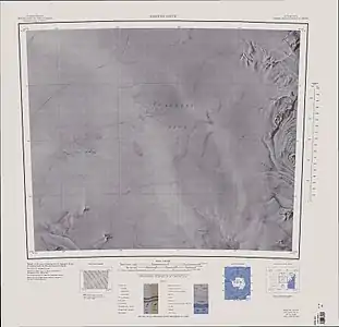
Kartenblatt Reeves Névé von 1966, Mount Kring in der südwestlichen Ecke | ||

Der Kartograph D. B. McC Rainey vom Department of Lands and Survey in Neuseeland benannte ihn. Namensgeber ist Staff Sergeant Arthur Lyall Kring (1926–1972) vom United States Marine Corps, Navigator bei Flügen der Flugstaffel VX-6 der United States Navy im Dienst für neuseeländische Feldforschungsmannschaften in diesem Gebiet zwischen 1962 und 1963.
Weblinks
- Mount Kring im Geographic Names Information System des United States Geological Survey (englisch)
- Mount Kring auf geographic.org (englisch)
This article is issued from Wikipedia. The text is licensed under Creative Commons - Attribution - Sharealike. The authors of the article are listed here. Additional terms may apply for the media files, click on images to show image meta data.