Mewo'ot HaChermon
| Mewo'ot HaChermon | |||
|---|---|---|---|
 | |||
| Basisdaten | |||
| hebräisch: | מועצה אזורית מבואות החרמון | ||
| Staat: | |||
| Gegründet: | 1981 | ||
| Koordinaten: | 33° 7′ N, 35° 34′ O | ||
| Fläche: | 134,74 km² | ||
| Einwohner: | 6.800 (2014) | ||
| Bevölkerungsdichte: | 50 Einwohner je km² | ||
| Zeitzone: | UTC+2 | ||
| Gemeindeart: | Regionalverwaltung | ||
| Website: | |||
| |||
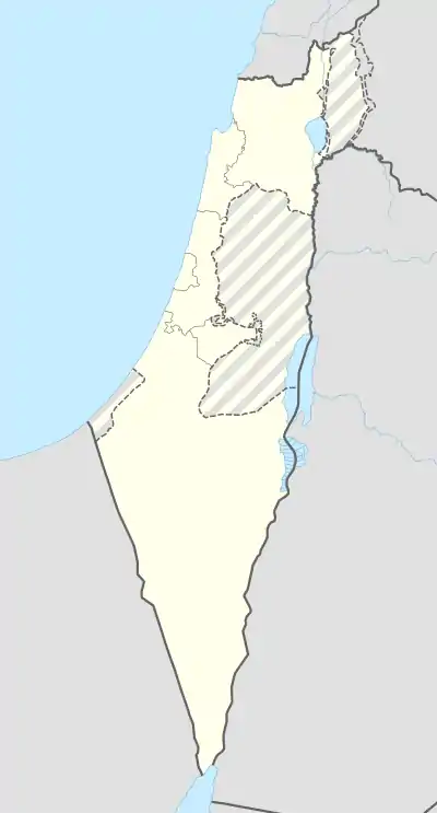
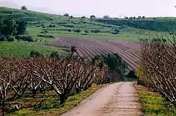
Mewo'ot HaChermon Regionalverwaltung (hebräisch מועצה אזורית מבואות החרמון) ist eine Regionalverwaltung und liegt nördlich des See Genezareth an der Grenze zum Libanon im Nordbezirk Israels. Das Verwaltungsgebiet wurde 1981 gegründet und ist 34,74 km² groß.
Demografie
6800 Menschen leben in Mewo'ot HaChermon (Stand 2014).
| Jahr | 1983 | 1995 | 2006 | 2008 | 2009 | 2010 | 2011 | 2012 | 2013 | 2014 |
|---|---|---|---|---|---|---|---|---|---|---|
| Einwohner | 2.300 | 4.000 | 6.000 | 6.100 | 6.200 | 6.300 | 6.400 | 6.600 | 6.700 | 6.800 |
Quellen
- Statistical Abstract of Israel 2015 – No. 66 Subject 2 – Table No. 22. Abgerufen am 17. August 2018
- מועצה אזורית מבואות החרמון | איכות חיים אחרת בין חרמון לכנרת (Homepage von mvhr.org.il), abgerufen am 17. August 2018
This article is issued from Wikipedia. The text is licensed under Creative Commons - Attribution - Sharealike. The authors of the article are listed here. Additional terms may apply for the media files, click on images to show image meta data.