Maromaku
Maromaku ist eine kleine Siedlung im Far North District der Region Northland auf der Nordinsel von Neuseeland.
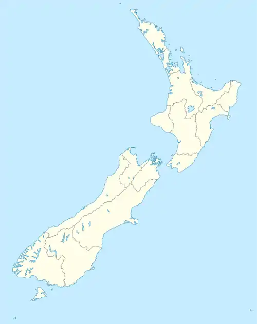
| Maromaku | ||
| Geographische Lage | ||
| ||
| Koordinaten | 35° 29′ S, 174° 6′ O | |
| Region-ISO | NZ-NTL | |
| Staat | ||
| Region | Northland | |
| Distrikt | Far North District | |
| Ward | Bay of Plenty-Whangaroa Ward | |
| Einwohner | wenige | |
| Höhe | 76 m | |
| Postleitzahl | 0281 | |
| Telefonvorwahl | +64 (0)9 | |
Geographie
Die Siedlung befindet sich rund 11 km südlich von Kawakawa unmittelbar südlich vom New Zealand State Highway 1. Die Bahnstrecke Auckland–Opua führt durch den Ort.[1]
Bildungswesen
Maromaku hat eine Grundschule für die Klassen 1 – 8.[2]
Einzelnachweise
- Topo250 maps. Land Information New Zealand, abgerufen am 5. August 2017 (englisch).
- Maromaku School. Education Counts, abgerufen am 5. August 2017 (englisch).
This article is issued from Wikipedia. The text is licensed under Creative Commons - Attribution - Sharealike. The authors of the article are listed here. Additional terms may apply for the media files, click on images to show image meta data.