Markleeville
Markleeville ist ein Census-designated place im Alpine County im US-Bundesstaat Kalifornien, Vereinigte Staaten, mit 210 Einwohnern (Stand: 2010) und Sitz der County-Verwaltung. Die geographischen Koordinaten sind: 38,41° Nord, 119,47° West. Das Stadtgebiet hat eine Größe von 49,5 km².
| Markleeville | |||
|---|---|---|---|
 Gerichtshof | |||
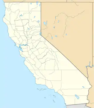
| Lage in Kalifornien | |||
| |||
| Basisdaten | |||
| Staat: | Vereinigte Staaten | ||
| Bundesstaat: | Kalifornien | ||
| County: | Alpine County | ||
| Koordinaten: | 38° 42′ N, 119° 47′ W | ||
| Zeitzone: | Pacific (UTC−8/−7) | ||
| Einwohner: | 191 (Stand: 2020) | ||
| Fläche: | 49,5 km² (ca. 19 mi²) | ||
| Höhe: | 1686 m | ||
| Postleitzahl: | 96120 | ||
| Vorwahl: | +1 530 | ||
| FIPS: | 06-45988 | ||
| GNIS-ID: | 1659065 | ||
This article is issued from Wikipedia. The text is licensed under Creative Commons - Attribution - Sharealike. The authors of the article are listed here. Additional terms may apply for the media files, click on images to show image meta data.