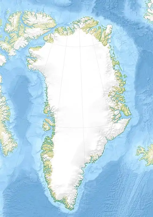
Maniitsoq (Kangaatsiaq)
Maniitsoq [maˈniːt͡sɔq] (nach alter Rechtschreibung Manîtsoĸ) ist eine wüst gefallene grönländische Siedlung im Distrikt Kangaatsiaq in der Kommune Qeqertalik.
| Maniitsoq (der Unebene) | ||
|---|---|---|
| Manîtsoĸ | ||
| Kommune | Kommune Qeqertalik | |
| Distrikt | Kangaatsiaq | |
| Geographische Lage | 67° 50′ 16″ N, 53° 49′ 17″ W | |
| ||
| Einwohner | 0 | |
| Zeitzone | UTC-3 | |
Lage
Maniitsoq liegt auf einer kleinen gleichnamigen Insel in der Davisstraße. 14 km nordöstlich befindet sich Attu. Maniitsoq war der südlichste bewohnte Ort Nordgrönlands.[1]
Geschichte
Über Maniitsoq ist quasi nichts bekannt. Der Wohnplatz wurde vermutlich kurz vor 1900 aufgegeben.[2]
Einzelnachweise
- Karte mit allen offiziellen Ortsnamen bestätigt vom Oqaasileriffik, bereitgestellt von Asiaq
- Jens Christian Madsen: Udsteder og bopladser i Grønland 1901–2000. Atuagkat, 2009, ISBN 978-87-90133-76-4, S. 115 f.
This article is issued from Wikipedia. The text is licensed under Creative Commons - Attribution - Sharealike. The authors of the article are listed here. Additional terms may apply for the media files, click on images to show image meta data.

