Maiden Island (Saint George)
Maiden Island ist eine Insel vor der Nordostküste[1] der Karibikinsel Antigua des Staates Antigua und Barbuda.
| Maiden Island | ||
|---|---|---|
| Gewässer | Karibisches Meer (Atlantik)[1] | |
| Inselgruppe | Antigua (Kleine Antillen, Karibische Inseln) | |
| Geographische Lage | 17° 9′ N, 61° 46′ W | |
| ||
Lage und Landschaft
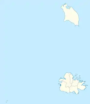
Maiden Island liegt zwischen Long Island (Jumby Bay) und Barnacle Point beim Flughafen V.C. Bird International. Verwaltungsmäßig gehört sie zum Saint George Parish.[2]
Einzelnachweise
- nach örtlichem Verständnis gilt die antiguanische Ostküste als „atlantisch“; die International Hydrographic Organization (IHO) definiert die Karibik–Atlantik-Küste entlang der 100-Faden-Linie (ca. 180 m), die einige Seemeilen vor Antigua liegt. International Hydrographic Organization: iho-ohi.net Limits of oceans and seas. Special publication, 23. Imp. Monégasque, Monte-Carlo 1953. Kap. 27. – Caribbean Sea, S. 14 f.
- Maiden Island bei GeoNames geonames.org. Abgerufen am 23. November 2021.
This article is issued from Wikipedia. The text is licensed under Creative Commons - Attribution - Sharealike. The authors of the article are listed here. Additional terms may apply for the media files, click on images to show image meta data.