MacAlpine Lake
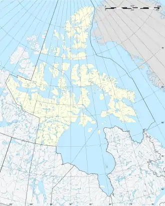
MacAlpine Lake ist ein See im kanadischen Territorium Nunavut.
| MacAlpine Lake | ||
|---|---|---|
| Geographische Lage | Nunavut (Kanada) | |
| Abfluss | Perry River | |
| Daten | ||
| Koordinaten | 66° 32′ N, 102° 45′ W | |
| ||
| Höhe über Meeresspiegel | 176 m | |
| Fläche | 421 km²[1] | |
Die Wasserfläche beträgt 421 km², mit Inseln beträgt die Gesamtfläche 447 km².[1] Der Perry River entwässert den See zum 120 km nördlich gelegenen Queen Maud Gulf.
Einzelnachweise
- Natural Resources Canada - The Atlas of Canada - Lakes (Memento vom 14. Januar 2013 im Internet Archive)
This article is issued from Wikipedia. The text is licensed under Creative Commons - Attribution - Sharealike. The authors of the article are listed here. Additional terms may apply for the media files, click on images to show image meta data.