Liste von Leuchttürmen in England
In dieser Liste sind aktive und ehemalige Leuchttürme und Leuchtfeuer (der englische Begriff Lighthouse ist umfassender) in England. Sie enthält keine Objekte aus Irland, Schottland, Wales und auch keine Feuerschiffe.
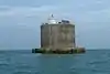
.jpg.webp)


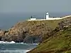
.jpg.webp)

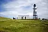
.JPG.webp)

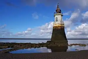
.jpg.webp)


.jpg.webp)
.jpg.webp)

.JPG.webp)


Siehe auch
Weblinks
Commons: Leuchttürme in England – Sammlung von Bildern, Videos und Audiodateien
- Russ Rowlett: The Lighthouse Directory (Englisch) University of North Carolina at Chapel Hill. Abgerufen am 6. September 2016.
- All Lighthouses. Trinity House, abgerufen am 6. September 2016 (englisch).
This article is issued from Wikipedia. The text is licensed under Creative Commons - Attribution - Sharealike. The authors of the article are listed here. Additional terms may apply for the media files, click on images to show image meta data.