Liste der Ramsar-Gebiete in Irak
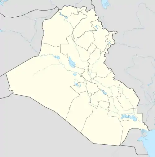
Ramsar-Gebiete in Irak sind nach der 1971 geschlossenen Ramsar-Konvention geschützte Feuchtgebiete in Irak. Diese sind von internationaler Bedeutung, nach der Absicht des internationalen völkerrechtlichen Vertrags insbesondere als Lebensraum für Wasser- und Watvögel. In Írak sind vier Ramsar-Gebiete mit einer Gesamtfläche von 537.900 Hektar ausgewiesen.
 Liste der Ramsar-Gebiete in Irak (Irak)
| ||||
Lage der Ramsar-Gebiete in Irak |
Liste der Ramsar-Gebiete
| Name des Gebiets | Bild | Region | Koordinaten | Ramsar-Gebietsnummer | Größe in Hektar |
Ausweisungs- Datum |
Anmerkungen |
|---|---|---|---|---|---|---|---|
| Zentral-Marsch | Maisan, Thi-Qar und Basra | 31,17611° N, 46,98333° O | 2241 | 219.700 | 7. Apr. 2014 | Marschland im Süden Iraks. | |
| Hammar-Marsch | Al-Nasyriah Provinz | 30,80611° N, 47,01694° O | 2242 | 180.000 | 7. Apr. 2014 | Marschland im Süden Iraks. | |
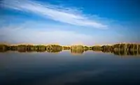
| Hawizeh-Marsch |  |
Basra | 31,41667° N, 47,63306° O | 1718 | 137.700 | 17. Okt. 2007 | Marschland im Süden Iraks. |
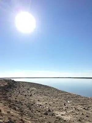
| Sawa-See |  |
al-Muthanna (Gouvernement) | 31,31278° N, 45,00611° O | 2240 | 500 | 3. März 2014 | Der Sawa-See ist von einer Salzwüste umgeben. Ohne Zu- oder Abflüsse speist er sich aus Grundwasser. |
Weblinks
- Annotated List of Wetlands of International Importance. Iraq. (PDF; 30,2 KB) ramsar.org (englisch).
- Ramsar Country Profile Iraq. ramsar.org (englisch).
This article is issued from Wikipedia. The text is licensed under Creative Commons - Attribution - Sharealike. The authors of the article are listed here. Additional terms may apply for the media files, click on images to show image meta data.