Lägh da Bitabergh
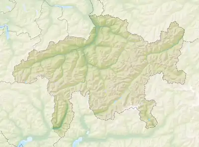
Der Lägh da Bitabergh (alpinlombardischer Dialektname) ist ein Bergsee auf 1855 m ü. M. beim Malojapass auf Gemeindegebiet von Bregaglia im Schweizer Kanton Graubünden.
| Lägh da Bitabergh | ||
|---|---|---|
 | ||
| Geographische Lage | Bregaglia, Kanton Graubünden, Schweiz | |
| Ufernaher Ort | Maloja | |
| Daten | ||
| Koordinaten | 772817 / 140128 | |
| ||
| Höhe über Meeresspiegel | 1855 m ü. M. | |
| Fläche | 0,7 ha | |
Zugang
Der See ist über einen Wanderweg von Maloja aus in ca. 40 Minuten Wanderzeit erreichbar.[1] Vom Lägh da Bitabergh führen weitere Wanderwege zum Lägh da Cavloc (45 Minuten)[1] oder steil hinauf zur Motta Salacina und zum Pass dal Caval.
Einzelnachweise
- Maloja - Lägh da Bitabergh - Lägh da Cavloc auf wegwandern.ch
Weblinks
Commons: Lägh da Bitabergh – Sammlung von Bildern, Videos und Audiodateien
This article is issued from Wikipedia. The text is licensed under Creative Commons - Attribution - Sharealike. The authors of the article are listed here. Additional terms may apply for the media files, click on images to show image meta data.
