Klausenkopf
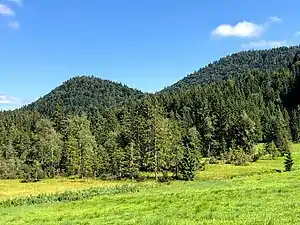
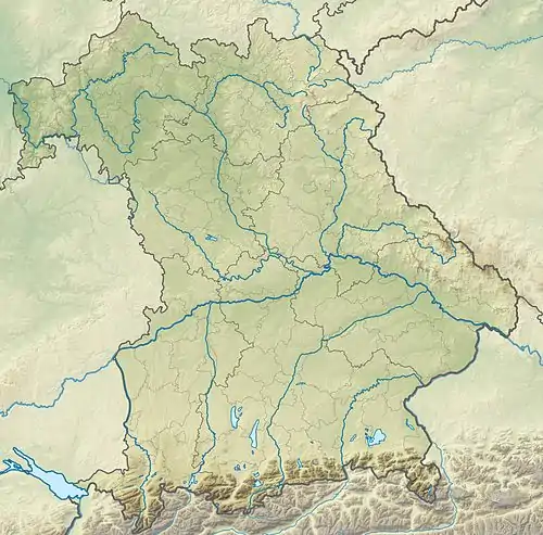
Der Klausenkopf ist ein 1151 m[1] hoher Berg auf dem Gebiet der Gemeinde Wackersberg in Oberbayern.
| Klausenkopf | ||
|---|---|---|

Klausenkopf von der Melcherstefflalm | ||
| Höhe | 1151 m | |
| Lage | Oberbayern, Deutschland | |
| Dominanz | 0,27 km → Kesselkopf[1] | |
| Schartenhöhe | 45 m | |
| Koordinaten | 47° 41′ 8″ N, 11° 30′ 9″ O | |
| ||
Er kann als Bergwanderung von Arzbach aus auf Forstwegen, am Ende weglos erreicht werden.
Einzelnachweise
This article is issued from Wikipedia. The text is licensed under Creative Commons - Attribution - Sharealike. The authors of the article are listed here. Additional terms may apply for the media files, click on images to show image meta data.
