Jefferson City (Montana)
Jefferson City ist eines von neun zu Statistikzwecken bestimmtes Siedlungsgebieten (Census-designated place) in Jefferson County im US-Bundesstaat Montana.
| Jefferson City | |||
|---|---|---|---|
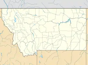
Lage in Montana | |||
| Basisdaten | |||
| Staat: | Vereinigte Staaten | ||
| Bundesstaat: | Montana | ||
| County: | Jefferson County | ||
| Koordinaten: | 46° 23′ N, 112° 2′ W | ||
| Zeitzone: | Mountain (UTC−7/−6) | ||
| Einwohner: | 597 (Stand: 2020) | ||
| Fläche: | 31,2 km² (ca. 12 mi²) davon 31,2 km² (ca. 12 mi²) Land | ||
| Höhe: | 1391 m | ||
| Postleitzahl: | 59638 | ||
| Vorwahl: | +1 406 | ||
| FIPS: | 30-39400 | ||
| GNIS-ID: | 0785437 | ||
Das Gebiet hat eine Fläche von 31,2 km² (12,1 square miles), welche nur aus Land und keiner Wasserfläche besteht. Es ist in der Volkszählung, die von dem United States Census Bureau durchgeführt wird, einzeln erfasst, ist aber zugleich ein Teil der Helena Micropolitan Statistical Area.
This article is issued from Wikipedia. The text is licensed under Creative Commons - Attribution - Sharealike. The authors of the article are listed here. Additional terms may apply for the media files, click on images to show image meta data.