Ittaajik
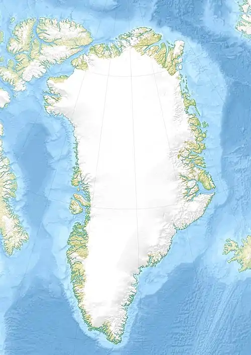
Ittaajik [iˈtːaːi(k)] (nach alter Rechtschreibung Igtâjik; Kitaamiusut Illukasik) ist eine wüst gefallene grönländische Siedlung im Distrikt Ammassalik in der Kommuneqarfik Sermersooq.
| Ittaajik (erbärmliches Haus) | ||
|---|---|---|
| Igtâjik | ||
| Kommune | Kommuneqarfik Sermersooq | |
| Distrikt | Ammassalik | |
| Geographische Lage | 65° 33′ 6″ N, 37° 13′ 22″ W | |
| ||
| Einwohner | 0 | |
| Zeitzone | UTC-3 | |
Lage
Ittaajik liegt an der Westspitze der Insel Qiianarteq. 6,2 km nordöstlich liegt der frühere Militärflugplatz Bluie East Two (Ikkatteq). 12 km westlich befindet sich Kuummiit und 17 km östlich Sermiligaaq.[1]
Geschichte
Ittaajik erscheint in den Bevölkerungsstatistiken von 1920 und 1930, danach aber nicht mehr, was heißt, dass der Wohnplatz während der 1930er Jahre aufgegeben worden ist.[2]
Einzelnachweise
- Karte mit allen offiziellen Ortsnamen bestätigt vom Oqaasileriffik, bereitgestellt von Asiaq
- Jens Christian Madsen: Udsteder og bopladser i Grønland 1901–2000. Atuagkat, 2009, ISBN 978-87-90133-76-4, S. 211.
This article is issued from Wikipedia. The text is licensed under Creative Commons - Attribution - Sharealike. The authors of the article are listed here. Additional terms may apply for the media files, click on images to show image meta data.

