Ira'ara (Parlamento)
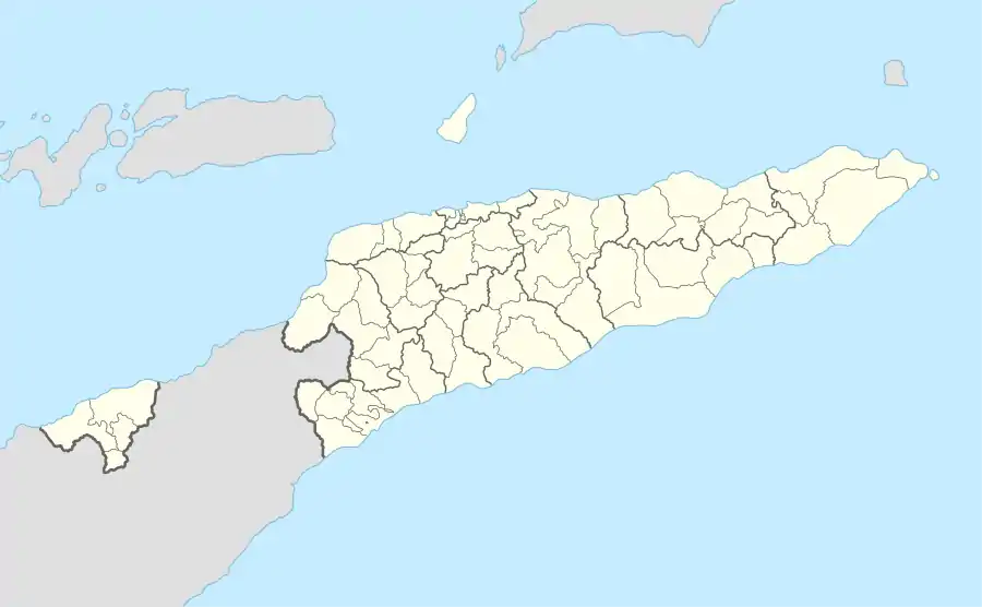
Ira'ara (Irara, Ira-Ara, Ilara) ist ein Dorf und Aldeia im Osten von Osttimor. Es liegt im Nordosten des Sucos Parlamento (Verwaltungsamt Lautém, Gemeinde Lautém), an der nördlichen Küstenstraße. Nur die Grenze zum Suco Com trennt Ira'ara vom östlichen Nachbardorf Etepiti.[1] Zur Aldeia Ira'ara gehören 522 Personen.[2]
| Ira'ara | |||
|---|---|---|---|
| |||
| Koordinaten | 8° 21′ S, 127° 1′ O | ||
| Basisdaten | |||
| Staat | Osttimor | ||
| Lautém | |||
| Verwaltungsamt | Lautém | ||
| Suco | Parlamento | ||
| Höhe | 33 m | ||
| Einwohner | 522 | ||
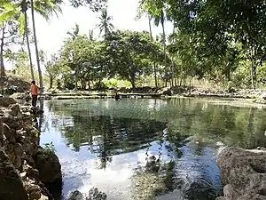 Die Quelle Lutu Ira unter Feigenbäumen in Ira'ara Die Quelle Lutu Ira unter Feigenbäumen in Ira'ara | |||
In Ira'ara befindet sich die Grundschule Escola Primaria E.P. Ira'ara[3] und die natürliche Quelle Lutu Ira.[4]
Einzelnachweise
- Timor-Leste GIS-Portal (Memento vom 30. Juni 2007 im Internet Archive)
- Direcção-Geral de Estatística: Ergebnisse der Volkszählung von 2015, abgerufen am 23. November 2016.
- UNMIT-Karte vom August 2008 (Memento vom 3. Dezember 2011 im Internet Archive) (PDF-Datei; 380 kB)
- Helen K. Larson, Duncan Buckle, Jessica Lynas, Andrew Storey, Chris Humphrey: Additional records of freshwater fishes from Timor-Leste, with notes on the fish fauna of the unique closed Irasiquero River system, The Beagle, Records of the Museums and Art Galleries of the Northern Territory, 2007 23: 131–135.
This article is issued from Wikipedia. The text is licensed under Creative Commons - Attribution - Sharealike. The authors of the article are listed here. Additional terms may apply for the media files, click on images to show image meta data.