Hull Shore Drive und Nantasket Avenue
Hull Shore Drive und Nantasket Avenue sind aneinander anschließende Straßen auf dem Stadtgebiet von Hull im Bundesstaat Massachusetts der Vereinigten Staaten. Sie bieten Zugang zum Schutzgebiet Nantasket Beach und sind seit dem Jahr 2004 gemeinsam als Historic District in das National Register of Historic Places eingetragen. Beide Straßen sind Teil des Metropolitan Park System of Greater Boston, wobei die Nantasket Avenue ebenfalls Teil der Massachusetts Route 228 ist.
| Hull Shore Drive, Nantasket Avenue | |||
|---|---|---|---|
| National Register of Historic Places | |||
| Historic District | |||
 Das Mary Jeanette Murray Bath House an der Nantasket Avenue Das Mary Jeanette Murray Bath House an der Nantasket Avenue | |||
| |||
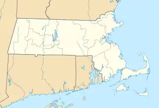
| Lage | Hull, Massachusetts, Vereinigte Staaten | ||
| Koordinaten | 42° 16′ 20″ N, 70° 51′ 39″ W | ||
| NRHP-Nummer | 03001470[1] | ||
| Ins NRHP aufgenommen | 21. Januar 2004 | ||
Einzelnachweise
- National Register Information System. In: National Register of Historic Places. National Park Service. Abgerufen am 15. April 2008.
This article is issued from Wikipedia. The text is licensed under Creative Commons - Attribution - Sharealike. The authors of the article are listed here. Additional terms may apply for the media files, click on images to show image meta data.