Formosa (Guinea-Bissau)
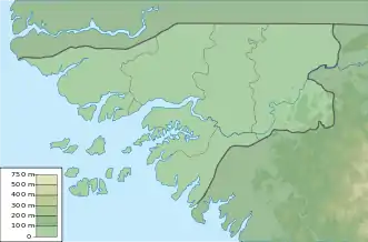
Formosa, in der lokalen Bidyogo-Sprache auch Urok, ist eine Insel im nordwestlichen Teil des Bissagos-Archipels. Sie liegt vor der Küste Guinea-Bissaus im Atlantischen Ozean in unmittelbarer Nähe der Westküste der nördlichen Hälfte Afrikas. Die Insel ist Teil des Sektors Caravela und nördlich der Insel liegen die Inseln Ponta und Maio und südlich von ihr die Inseln Enu und Edana, die auch zum Sektor Caravela gehören. Die Fläche der Insel beträgt 140 km².[2]
| Formosa | ||
|---|---|---|
| Gewässer | Atlantischer Ozean | |
| Inselgruppe | Bissagos-Archipel[1] | |
| Geographische Lage | 11° 29′ N, 15° 58′ W | |
| ||
| Länge | 19,935 km | |
| Breite | 10,4 km | |
| Fläche | 140 km² | |
| Hauptort | Abu | |
Einzelnachweise
- tutiempo.net, Ilha Formosa
- geographic.org, Ilha Formosa: Guinea-Bissau
This article is issued from Wikipedia. The text is licensed under Creative Commons - Attribution - Sharealike. The authors of the article are listed here. Additional terms may apply for the media files, click on images to show image meta data.