Flugplatz Lamap
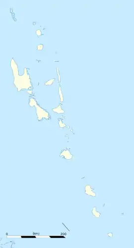
Der Flugplatz Lamap, auch bekannt als Malekoula Airport, ist ein Flugplatz in der Nähe von Lamap auf der Insel Malekoula in der Provinz Malampa in Vanuatu.[1][2] Er ist neben dem Flugplatz Norsup und dem Flugplatz South West Bay einer der drei Flugplätze der Insel. Der Flugplatz wird von Air Vanuatu vom Bauerfield Airport bedient.
| Flugplatz Lamap | |||
|---|---|---|---|
| |||
| Kenndaten | |||
| ICAO-Code | NVSL | ||
| IATA-Code | LPM | ||
| Koordinaten | |||
| Höhe über MSL | 2 m (7 ft) | ||
Einzelnachweise
- Malampa (province: VU-MAP), Vanuatu (VU), Blue Marble Great Circle Mapper: Map, Satellite Google Maps: Map, Satellite Yandex Maps: Map: LPM - Lamap, Malekula Island, MAP, VU - Airport - Great Circle Mapper. Abgerufen am 21. September 2021 (englisch).
- Lamap Airport - NVSL - LPM - Airport Guide. Abgerufen am 21. September 2021 (englisch).
This article is issued from Wikipedia. The text is licensed under Creative Commons - Attribution - Sharealike. The authors of the article are listed here. Additional terms may apply for the media files, click on images to show image meta data.