Fatu Sue
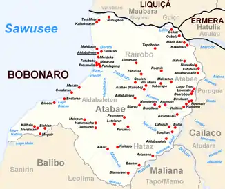
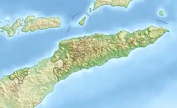
Das Kap Fatu Sue (auch Fatoe Soe) ist ein Kap im Nordwesten Osttimors. Es befindet sich im Südwesten des Verwaltungsamts Atabae und bildet die westlichste Spitze des Sucos Aidabaleten, an der Küste der Sawusee.[1] Westlich befindet sich der See Lago Hatsun und südlich der See Lago Malai.[2] Ihr Abfluss mündet südlich des Kaps in die Sawusee.
| Fatu Sue | ||
| Geographische Lage | ||
| ||
| Koordinaten | 8° 52′ S, 125° 0′ O | |
| Küste | Nordküste Timors | |
| Gewässer | Sawusee | |
 Das Verwaltungsamt Atabae | ||
Einzelnachweise
- Prostar Sailing Directions 2005 Borneo, Jawa, Sulawesi and Nusa Tenggara Enroute, S. 174, 2005.
- Margaret J. E. King: Fishing Rites at Be-Malai, Portuguese Timor
This article is issued from Wikipedia. The text is licensed under Creative Commons - Attribution - Sharealike. The authors of the article are listed here. Additional terms may apply for the media files, click on images to show image meta data.
