Erie (Kansas)
Erie ist ein Ort in Neosho County im Südosten von Kansas in den USA. Bei der Volkszählung 2000 hatte es 1.211 Einwohner. Es ist Verwaltungssitz der Grafschaft Neosho County.
| Erie | |||
|---|---|---|---|
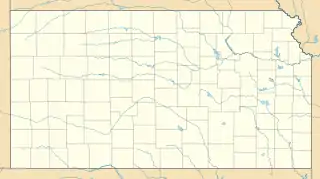
Lage in Kansas | |||
| Basisdaten | |||
| Gründung: | 1866 | ||
| Staat: | Vereinigte Staaten | ||
| Bundesstaat: | Kansas | ||
| County: | Neosho County | ||
| Koordinaten: | 37° 34′ N, 95° 15′ W | ||
| Zeitzone: | Central (UTC−6/−5) | ||
| Einwohner: | 1.047 (Stand: 2020) | ||
| Fläche: | 2,3 km² (ca. 1 mi²) davon 2,3 km² (ca. 1 mi²) Land | ||
| Höhe: | 273 m | ||
| Postleitzahl: | 66733 | ||
| Vorwahl: | +1 620 | ||
| FIPS: | 20-21500 | ||
| GNIS-ID: | 0475122 | ||
| Website: | www.erieks.com | ||
| Bürgermeister: | Charles McKinney | ||
Der Überlieferung nach entstand der Ort 1866 durch Zusammenschluss des nordwestlich vom jetzigen Zentrum liegenden Ortes Old Erie und des südöstlich liegenden Ortes Crawfordsville.
Siehe auch
This article is issued from Wikipedia. The text is licensed under Creative Commons - Attribution - Sharealike. The authors of the article are listed here. Additional terms may apply for the media files, click on images to show image meta data.
