El Chorro (Uruguay)
El Chorro ist eine Ortschaft in Uruguay.
| El Chorro | ||
|---|---|---|
|
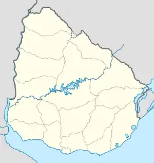
El Chorro auf der Karte von Uruguay | ||
| Basisdaten | ||
| Staat | Uruguay | |
| Departamento | Maldonado | |
| Einwohner | 392 (2011) | |
| Detaildaten | ||
Geographie
Sie befindet sich auf dem Gebiet des Departamento Maldonado in dessen Sektor 6. Im Osten grenzt Manantiales an El Chorro an, während in ca. einem Kilometer westlicher Entfernung La Barra gelegen ist. Im Hinterland erstreckt sich die Cuchilla de Maldonado.
Infrastruktur
Der Ort liegt an der Ruta 10. Der Ort ist zudem an die Busverbindung Maldonado – Faro José Ignacio (C.O.D.E.S.A – Línea 14) angebunden und wird mehrmals täglich im öffentlichen Nahverkehr bedient.[1]
Einwohner
El Chorro hatte bei der Volkszählung 2011 392 Einwohner, davon 201 männliche und 191 weibliche.[2]
| Jahr | Einwohner |
|---|---|
| 1963 | 25 |
| 1975 | 49 |
| 1985 | 93 |
| 1996 | 147 |
| 2004 | 254 |
| 2011 | 392 |
Weblinks
- Stadtplan von El Chorro (PDF; 126 kB)
Einzelnachweise
- Línea 14 (spanisch) auf www.puntaweb.com, abgerufen am 12. Oktober 2012
- Statistische Daten (Memento vom 7. September 2012 im Internet Archive) des Instituto Nacional de Estadística de Uruguay, abgerufen am 27. September 2012
- Statistische Daten des Instituto Nacional de Estadística de Uruguay 1963–1996 (DOC; 74 kB)
- Statistische Daten des Instituto Nacional de Estadística de Uruguay 2004 als xls-Datei (Memento vom 9. März 2013 im Internet Archive)
This article is issued from Wikipedia. The text is licensed under Creative Commons - Attribution - Sharealike. The authors of the article are listed here. Additional terms may apply for the media files, click on images to show image meta data.
