Duncan (Arizona)
Duncan ist ein Dorf im Greenlee County im Osten des US-Bundesstaats Arizona. Es liegt nahe der Grenze zu New Mexico. Duncan hat 812 Einwohner auf einer Fläche von 6,6 km². Die Bevölkerungsdichte liegt bei 122,5/km².
| Duncan | |
|---|---|
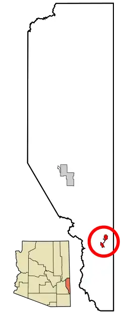 Lage in Arizona | |
| Basisdaten | |
| Gründung: | 1938 |
| Staat: | Vereinigte Staaten |
| Bundesstaat: | Arizona |
| County: | Greenlee County |
| Koordinaten: | 32° 43′ N, 109° 6′ W |
| Zeitzone: | Mountain Standard Time (UTC−7) |
| Einwohner: | 694 (Stand: 2020) |
| Fläche: | 6,6 km² (ca. 3 mi²) davon 6,6 km² (ca. 3 mi²) Land |
| Höhe: | 1114 m |
| Postleitzahl: | 85534 |
| Vorwahl: | +1 928 |
| FIPS: | 04-20750 |
| GNIS-ID: | 0004189 |
| Website: | www.townofduncan.com |
Verkehr
Duncan befindet sich in der Nähe des Knotenpunktes zwischen dem U.S. Highway 70 und der Arizona State Route 75.
Weblinks
Commons: Duncan (Arizona) – Sammlung von Bildern, Videos und Audiodateien
This article is issued from Wikipedia. The text is licensed under Creative Commons - Attribution - Sharealike. The authors of the article are listed here. Additional terms may apply for the media files, click on images to show image meta data.