Drexel Heights
Drexel Heights ist ein Census-designated place im Pima County im US-Bundesstaat Arizona. Er hat etwa 26.100 Einwohner (Stand Volkszählung 2004) auf einer Fläche von 52,0 km². Im Osten der Stadt verläuft die Interstate 19 und im Norden die Arizona State Route 86.
| Drexel Heights | |
|---|---|
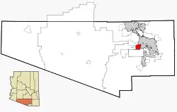 Lage im County und in Arizona | |
| Basisdaten | |
| Staat: | Vereinigte Staaten |
| Bundesstaat: | Arizona |
| County: | Pima County |
| Koordinaten: | 32° 8′ N, 111° 2′ W |
| Zeitzone: | Mountain Standard Time (UTC−7) |
| Einwohner: | 27.523 (Stand: 2020) |
| Fläche: | 51,0 km² (ca. 20 mi²) davon 51,0 km² (ca. 20 mi²) Land |
| Höhe: | 770 m |
| FIPS: | 04-20540 |
| GNIS-ID: | 0025237 |
Weblinks
Commons: Drexel Heights – Sammlung von Bildern, Videos und Audiodateien
This article is issued from Wikipedia. The text is licensed under Creative Commons - Attribution - Sharealike. The authors of the article are listed here. Additional terms may apply for the media files, click on images to show image meta data.