Danau Mahalona
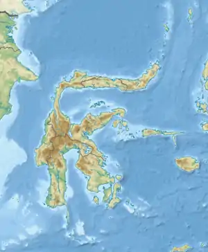
Der Danau Mahalona oder Mahalonasee ist ein 25 km² großer See im Regierungsbezirk (Kabupaten) Luwu Timur in der Provinz Südsulawesi, Indonesien. Er gehört zum Malili-Seen-System und ist tektonischen Ursprungs.
| Danau Mahalona | ||
|---|---|---|
| Geographische Lage | Sulawesi Selatan, Sulawesi | |
| Abfluss | über Towutisee und Sungai Larona in den Golf von Bone | |
| Daten | ||
| Koordinaten | 2° 35′ 48″ S, 121° 29′ 48″ O | |
| ||
| Fläche | 25 km² | |
| Maximale Tiefe | 60 m | |
This article is issued from Wikipedia. The text is licensed under Creative Commons - Attribution - Sharealike. The authors of the article are listed here. Additional terms may apply for the media files, click on images to show image meta data.