Cota Bo’ot (Berg)
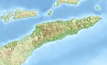
Der Cota Bo’ot (Taruik Kotabot) ist ein Hügel in der osttimoresischen Gemeinde Bobonaro.[1] Er liegt im Suco Cowa (Verwaltungsamt Balibo) und hat eine Höhe zwischen 234 m[2] und 518 m.[1] Der Hügel liegt im Quellgebiet des Morak, der nördlich abfließt.[3]
| Cota Bo’ot | ||
|---|---|---|
| Lage | Suco Cowa, Verwaltungsamt Balibo, Gemeinde Bobonaro, Osttimor | |
| Koordinaten | 8° 59′ 31″ S, 124° 59′ 39″ O | |
| ||
Einzelnachweise
- Margaret J. E. King: Fishing Rites at Be-Malai, Portuguese Timor (Bericht eines Besuchs im August 1960), Records of the South Australian Museum, Adelaide, Sth Aust. : Govt. Printer, "From Records of the South Australian Museum, Vol. 15, No. 1, 6. Oktober 1965."
- Mapcarta: Taruik Kotabot
- Timor-Leste GIS-Portal (Memento vom 30. Juni 2007 im Internet Archive)
This article is issued from Wikipedia. The text is licensed under Creative Commons - Attribution - Sharealike. The authors of the article are listed here. Additional terms may apply for the media files, click on images to show image meta data.
