Columbia Peak
Der Columbia Peak ist ein Berg in der Henry M. Jackson Wilderness im US-Bundesstaat Washington. Er ragt 7.172 ft (2.186 m) hoch auf. Zusammen mit dem Monte Cristo Peak und dem Kyes Peak bildet er ein Becken, das den Columbia-Gletscher und den Blanca Lake enthält.[1]
| Columbia Peak | ||
|---|---|---|

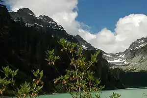
Der Columbia Peak (links) und der Columbia-Gletscher (rechts) mit dem Blanca Lake im Vordergrund, Blick nach Norden[1] | ||
| Höhe | 2186 m (Sea Level Datum of 1929[2]) | |
| Lage | Snohomish County, Washington, USA | |
| Gebirge | Kaskadenkette | |
| Schartenhöhe | 345 m | |
| Koordinaten | 47° 57′ 42″ N, 121° 21′ 40″ W | |
| ||

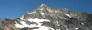
Der Columbia Peak von den Twin Lakes aus | ||
Einzelnachweise
- USGS. Blanca Lake quadrangle, Washington [Karte], 1:24000, 7.5 Minute Topographic.
- Columbia Peak, Washington. peakbagger.com. Abgerufen am 11. Januar 2018.
Weblinks
- Columbia Peak (Englisch) In: Geographic Names Information System. United States Geological Survey.
- Twin Lakes (Englisch) In: Geographic Names Information System. United States Geological Survey.
This article is issued from Wikipedia. The text is licensed under Creative Commons - Attribution - Sharealike. The authors of the article are listed here. Additional terms may apply for the media files, click on images to show image meta data.
