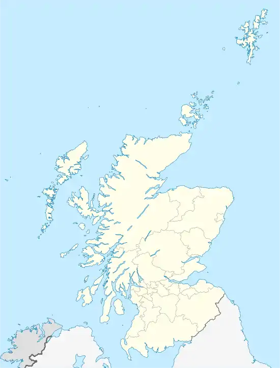
Colpy
Colpy ist ein Weiler in der schottischen Council Area Aberdeenshire. Er liegt am gleichnamigen Bach, der direkt östlich in den Urie einmündet. Im Nordosten grenzt mit Kirkton of Culsalmond der nächste Weiler direkt an.[1] In der Umgebung von Colpy befinden sich zwei Cairns.[2]
| Colpy | |||
|---|---|---|---|
| Koordinaten | 57° 23′ N, 2° 36′ W | ||
| |||
| Traditionelle Grafschaft | Aberdeenshire | ||
| Verwaltung | |||
| Post town | INSCH | ||
| Postleitzahlenabschnitt | AB52 | ||
| Vorwahl | 01464 | ||
| Landesteil | Schottland | ||
| Council area | Aberdeenshire | ||
| Britisches Parlament | Gordon | ||
| Schottisches Parlament | Aberdeenshire West | ||
Colpy ist direkt an der A96 gelegen, welche das rund 95 km nordwestlich gelegene Inverness mit dem rund 40 km südöstlich befindlichen Aberdeen verbindet. Des Weiteren mündet die aus Ellon kommende A920 in Colpy in die A96 ein und endet dort. Die nächstgelegene Stadt ist das rund zwölf Kilometer nordwestliche Huntly.
Einzelnachweise
- Colpy. Aberdeenshire. In: David Munro, Bruce Gittings: Scotland. An Encyclopedia of Places & Landscapes. Collins u. a., Glasgow 2006, ISBN 0-00-472466-6.
- Colpy. In: Francis H. Groome: Ordnance Gazetteer of Scotland: A Survey of Scottish Topography, Statistical, Biographical and Historical. Band 1: (A – Coru). Thomas C. Jack, Grange Publishing Works, Edinburgh u. a. 1882, S. 280–281.
Weblinks
Commons: Colpy – Sammlung von Bildern, Videos und Audiodateien
This article is issued from Wikipedia. The text is licensed under Creative Commons - Attribution - Sharealike. The authors of the article are listed here. Additional terms may apply for the media files, click on images to show image meta data.
