Cimarron Hills (Colorado)
Cimarron Hills ist eine Stadt im El Paso County im US-Bundesstaat Colorado, Vereinigte Staaten, mit 16.161 Einwohnern (Stand: 2010). Die geographischen Koordinaten sind: 38,86° Nord, 104,70° West. Die Fläche der Stadt beträgt 15,8 km².
| Cimarron Hills | |||
|---|---|---|---|
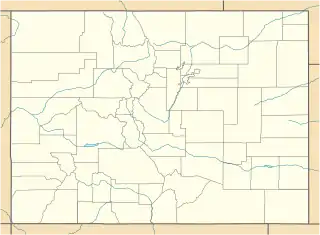
Lage in Colorado | |||
| Basisdaten | |||
| Staat: | Vereinigte Staaten | ||
| Bundesstaat: | Colorado | ||
| County: | El Paso County | ||
| Koordinaten: | 38° 51′ N, 104° 42′ W | ||
| Zeitzone: | Mountain (UTC−7/−6) | ||
| Einwohner: | 19.311 (Stand: 2020) | ||
| Fläche: | 15,8 km² (ca. 6 mi²) davon 15,8 km² (ca. 6 mi²) Land | ||
| Höhe: | 1965 m | ||
| Postleitzahlen: | 80915, 80922, 80970 | ||
| Vorwahl: | +1 719 | ||
| FIPS: | 08-14587 | ||
| GNIS-ID: | 1867079 | ||
This article is issued from Wikipedia. The text is licensed under Creative Commons - Attribution - Sharealike. The authors of the article are listed here. Additional terms may apply for the media files, click on images to show image meta data.