Cherryland
Cherryland ist eine US-amerikanische Stadt im Alameda County im US-Bundesstaat Kalifornien. Sie hat etwa 12.700 Einwohner (Stand: 2004). Die Stadt befindet sich bei den geographischen Koordinaten 37,68° Nord, 122,10° West. Das Stadtgebiet hat eine Größe von 3,0 km².
| Cherryland | |||
|---|---|---|---|
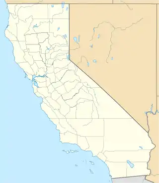
Lage in Kalifornien | |||
| Basisdaten | |||
| Staat: | Vereinigte Staaten | ||
| Bundesstaat: | Kalifornien | ||
| County: | Alameda County | ||
| Koordinaten: | 37° 41′ N, 122° 6′ W | ||
| Zeitzone: | Pacific (UTC−8/−7) | ||
| Einwohner: | 15.808 (Stand: 2020) | ||
| Fläche: | 3,0 km² (ca. 1 mi²) davon 3,0 km² (ca. 1 mi²) Land | ||
| Höhe: | 20 m | ||
| Postleitzahl: | 94541 | ||
| Vorwahl: | +1 510 | ||
| FIPS: | 06-12902 | ||
| GNIS-ID: | 1867005 | ||
This article is issued from Wikipedia. The text is licensed under Creative Commons - Attribution - Sharealike. The authors of the article are listed here. Additional terms may apply for the media files, click on images to show image meta data.