Charles Island (Nunavut)
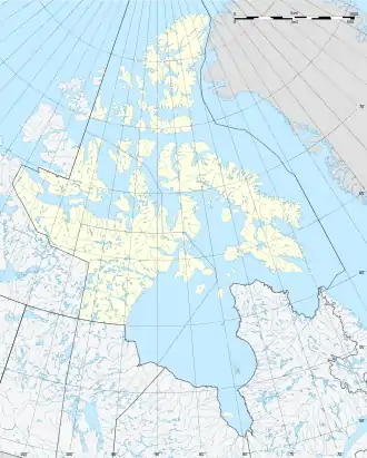
Charles Island ist eine unbewohnte, arktische Insel in der Qikiqtaaluk-Region des kanadischen Territorium Nunavut. Die 235 km² große Insel liegt in der Hudsonstraße, 19 km nordwestlich von Cap de Nouvelle-France, dem nördlichsten Punkt der Ungava-Halbinsel.[1]
| Charles Island | ||
|---|---|---|
| Gewässer | Hudsonstraße | |
| Inselgruppe | Kanadisch-arktischer Archipel | |
| Geographische Lage | 62° 39′ N, 74° 15′ W | |
| ||
| Länge | 35 km | |
| Breite | 9 km | |
| Fläche | 235 km² | |
| Höchste Erhebung | 46 m | |
| Einwohner | unbewohnt | |
Charles Island hat eine Ausdehnung in Ost-West-Richtung von 35 km. Die maximale Breite beträgt 9 km. Die größte Erhebung erreicht 46 m.
Einzelnachweise
- The Atlas of Canada – Sea Islands (Memento vom 6. Oktober 2012 im Internet Archive) (englisch)
This article is issued from Wikipedia. The text is licensed under Creative Commons - Attribution - Sharealike. The authors of the article are listed here. Additional terms may apply for the media files, click on images to show image meta data.