Cedarville (Arkansas)
Cedarville ist eine Ortschaft im Crawford County im US-Bundesstaat Arkansas. Laut Volkszählung im Jahr 2000 hatte sie eine Einwohnerzahl von 1113 auf einer Fläche von 22,7 km². Die Bevölkerungsdichte liegt bei 49 pro km².
| Cedarville | |||
|---|---|---|---|
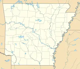
Lage in Arkansas | |||
| Basisdaten | |||
| Staat: | Vereinigte Staaten | ||
| Bundesstaat: | Arkansas | ||
| County: | Crawford County | ||
| Koordinaten: | 35° 35′ N, 94° 22′ W | ||
| Zeitzone: | Central (UTC−6/−5) | ||
| Einwohner: | 1.424 (Stand: 2020) | ||
| Fläche: | 22,7 km² (ca. 9 mi²) davon 22,7 km² (ca. 9 mi²) Land | ||
| Höhe: | 239 m | ||
| Postleitzahl: | 72932 | ||
| Vorwahl: | +1 479 | ||
| FIPS: | 05-12520 | ||
| GNIS-ID: | 0076564 | ||
| Bevölkerungsentwicklung | |||
|---|---|---|---|
| Census | Einwohner | ± in % | |
| 1880 | 97 | — | |
| 1890 | 80 | −17,5 % | |
| 1910 | 54 | — | |
| 1930 | 58 | — | |
| 1940 | 111 | 91,4 % | |
| 1950 | 43 | −61,3 % | |
| 1960 | 52 | 20,9 % | |
| 2000 | 1133 | — | |
| 1880–2000[1] | |||
Einzelnachweise
- Auszug aus der Encyclopedia of Arkansas. Abgerufen am 13. Februar 2011
This article is issued from Wikipedia. The text is licensed under Creative Commons - Attribution - Sharealike. The authors of the article are listed here. Additional terms may apply for the media files, click on images to show image meta data.