Carbondale (Colorado)
Carbondale ist eine Gemeinde im Garfield County im US-Bundesstaat Colorado. Carbondale hat 6427 Einwohner (Stand: 2010) und liegt nahe der Grenze zum Pitkin County und Eagle County. Die Gemeinde liegt am Zusammenfluss des Crystal River in den Roaring Fork River. Carbondale wird von den Colorado State Highways 133 und 82 tangiert.
| Carbondale | |||
|---|---|---|---|
| Spitzname: The Ultimate Rocky Mountain Hideout | |||
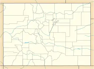
Lage in Colorado | |||
| Basisdaten | |||
| Staat: | Vereinigte Staaten | ||
| Bundesstaat: | Colorado | ||
| County: | Garfield County | ||
| Koordinaten: | 39° 24′ N, 107° 13′ W | ||
| Zeitzone: | Mountain (UTC−7/−6) | ||
| Einwohner: | 6.434 (Stand: 2020) | ||
| Fläche: | 5,2 km² (ca. 2 mi²) davon 5,2 km² (ca. 2 mi²) Land | ||
| Höhe: | 1881 m | ||
| Postleitzahl: | 81623 | ||
| Vorwahl: | +1 970 | ||
| FIPS: | 08-12045 | ||
| GNIS-ID: | 0174841 | ||
| Website: | www.carbondalegov.org | ||
| Bürgermeister: | Michael Hassig | ||
Weblinks
Commons: Carbondale (Colorado) – Sammlung von Bildern, Videos und Audiodateien
- Offizieller Internetauftritt der Gemeinde Carbondale (englisch)
This article is issued from Wikipedia. The text is licensed under Creative Commons - Attribution - Sharealike. The authors of the article are listed here. Additional terms may apply for the media files, click on images to show image meta data.
