Broadwood (Neuseeland)
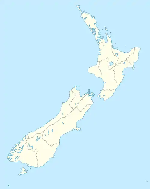
Broadwood ist eine kleine Siedlung im Far North District der Region Northland auf der Nordinsel von Neuseeland.
| Broadwood | ||
| Geographische Lage | ||
| ||
| Koordinaten | 35° 16′ S, 173° 24′ O | |
| Region-ISO | NZ-NTL | |
| Staat | ||
| Region | Northland | |
| Distrikt | Far North District | |
| Ward | Kaikohe-Hokianga Ward | |
| Einwohner | wenige | |
| Höhe | 80 m | |
| Postleitzahl | 0491 | |
| Telefonvorwahl | +64 (0)9 | |
| Fotografie des Ortes | ||
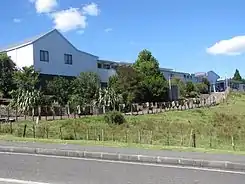 Broadwood Area School | ||
Geographie
Broadwood liegt rund 15 km nördlich des Hokianga Harbour und rund 17 km östlich Herekino. Der New Zealand State Highway 1 führt 10 km nordöstlich an der Siedlung vorbei.[1]
Geschichte
Das Gebiet von Broadwood wurde in den 1880er Jahren von Europäern besiedelt und eine Zugangsstraße von Takahue nach Motukaraka am Hokianga Harbour gebaut. Eine unbefestigte Straße durch Te Karae Valley nach Kohukohu entstand 1908.[2]
Bildung
Die Broadwood Area School ist eine composite school für die Klassen 1–15 mit einem decile rating von 1. Sie hatte im Jahre 2009 135 Schüler. Eine staatlich unterstützte Schule hatte es in Broadwood bereits von 1895 bis 1904 gegeben.[3] Die heutige Schule wurde 1908 gegründet. Sie wurde 1952 zur Distrikt-High School, 1973 erhielt sie den Status einer Area School.
Einzelnachweise
- Topo250 maps - Northland North. Land Information New Zealand, abgerufen am 24. Mai 2017 (englisch).
- Nearby Broadwood and Runaruna. In: Olive Harris and Chris Lancaster (Hrsg.): Remember the Hokianga 2006, S. 89, ISBN 978-0-473-11859-4.
- Broadwood Area School (X366). National register of Archives and Manuscripts, archiviert vom Original am 15. Oktober 2008; abgerufen am 8. August 2014 (englisch).