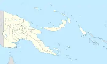
Bogia Distrikt
Bogia ist einer von sechs Verwaltungsbezirken der Madang-Provinz in Papua-Neuguinea.
| Bogia Distrikt | |||
|---|---|---|---|
| |||
| Koordinaten | 4° 17′ S, 144° 58′ O | ||
| Basisdaten | |||
| Staat | Papua-Neuguinea | ||
| Morobe | |||
| Fläche | 3978 km² | ||
| Einwohner | 75.067 | ||
| Dichte | 18,9 Ew./km² | ||
Der Bezirk liegt im äußersten Norden der Provinz und ist in drei kommunale Verwaltungseinheiten („Gebiete auf lokaler Verwaltungsebene“) Local Level Government (LLG) Areas unterteilt[1]:
- Almami Rural LLG
- Iabu Rural LLG
- Yawar Rural LLG
Im Falle von Bogia sind alle LLGs als Rural (ländlich) eingruppiert.
Referenzen
Einzelnachweise
This article is issued from Wikipedia. The text is licensed under Creative Commons - Attribution - Sharealike. The authors of the article are listed here. Additional terms may apply for the media files, click on images to show image meta data.
