Blauenberg
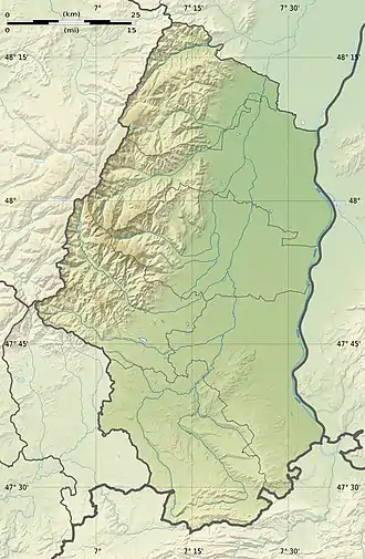
Der Blauenberg ist ein mehr als zwei Kilometer langer Gebirgsgrat im französischen Jura. Er bildet die Gemeindegrenze zwischen Kiffis und Lutter im Kanton Ferrette. Der höchste Punkt befindet sich am westlichen Ende auf 680 m.
| Blauenberg | ||
|---|---|---|
| Höhe | 680 m | |
| Lage | Département Haut-Rhin, Region Grand Est, Frankreich | |
| Gebirge | Jura | |
| Koordinaten | 47° 27′ 49″ N, 7° 20′ 4″ O | |
| ||
This article is issued from Wikipedia. The text is licensed under Creative Commons - Attribution - Sharealike. The authors of the article are listed here. Additional terms may apply for the media files, click on images to show image meta data.
