Blairlogie (Schottland)
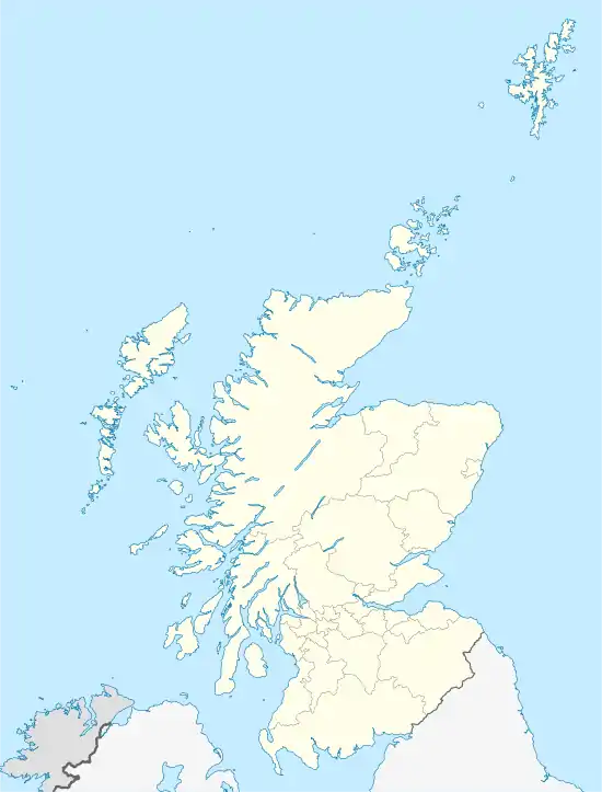
Blairlogie ist eine Siedlung an der Ostgrenze der schottischen Council Area Stirling zum benachbarten Clackmannanshire in der traditionellen schottischen Grafschaft Perthshire.[1][2] Sie liegt etwa vier Kilometer nordöstlich von Stirling und sechs Kilometer westnordwestlich von Alloa am Fuße des Dumyat. Blairlogie ist das östlichste der Hillfoots Villages, einer Reihe von Ortschaften an den südlichen Hängen der Ochil Hills und das einzige in der Verwaltungsregion Stirling gelegene. Es ist durch die A91 an das Straßennetz angeschlossen. Im Jahre 1961 verzeichnete Blairlogie 70 Einwohner, was einen Rückgang seit dem Jahre 1881 mit 94 Einwohnern bedeutet.[3]
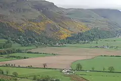
 Blairlogie am Fuß des Dumyat
 Blairlogie House
 Ältestes Gebäude von Blairlogie
| Blairlogie | |||
|---|---|---|---|
 Blick auf Blairlogie am Fuße des Dumyat | |||
| Koordinaten | 56° 9′ N, 3° 53′ W | ||
| |||
| Traditionelle Grafschaft | Perthshire | ||
| Verwaltung | |||
| Post town | STIRLING | ||
| Postleitzahlenabschnitt | FK9 | ||
| Vorwahl | 01259 | ||
| Landesteil | Scotland | ||
| Council area | Stirling | ||
| Britisches Parlament | Ochil and South Perthshire | ||
| Schottisches Parlament | Clackmannanshire and Dunblane | ||
Weblinks
Commons: Blairlogie – Sammlung von Bildern, Videos und Audiodateien
Einzelnachweise
- Blairlogie. In: Francis H. Groome: Ordnance Gazetteer of Scotland: A Survey of Scottish Topography, Statistical, Biographical and Historical. Band 1: (A – Coru). Thomas C. Jack, Grange Publishing Works, Edinburgh u. a. 1882, S. 167.
- Blairlogie Stirling. In: David Munro, Bruce Gittings: Scotland. An Encyclopedia of Places & Landscapes. Collins u. a., Glasgow 2006, ISBN 0-00-472466-6.
- Eintrag. In: Gazetteer for Scotland. 2011.
This article is issued from Wikipedia. The text is licensed under Creative Commons - Attribution - Sharealike. The authors of the article are listed here. Additional terms may apply for the media files, click on images to show image meta data.
