Bhuktangle
Bhuktangle (Nepali भुक्ताङले) ist ein Village Development Committee (VDC) im Norden des Distrikts Parbat.
| Bhuktangle भुक्ताङले | |||
|---|---|---|---|
| |||
| Koordinaten | 28° 19′ N, 83° 44′ O | ||
| Basisdaten | |||
| Staat | Nepal | ||
| Gandaki | |||
| Zone | Dhaulagiri | ||
| Distrikt | Parbat | ||
| Einwohner | 2312 (2011) | ||
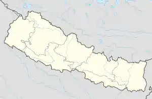
Das VDC Bhuktangle erstreckt sich westlich des Modi Khola. Im Norden reicht das Gebiet bis kurz vor Ghorepani und Poon Hill.
Einwohner
Bei der Volkszählung 2011 hatte Bhuktangle 2312 Einwohner (davon 1039 männlich) in 574 Haushalten.[1]
Dörfer und Hamlets
Bhuktangle besteht aus mehreren Dörfern und Hamlets.[2] Die wichtigsten sind:
- Bhuka (1857 m)
- Tangle (1870 m)
![]() Karte mit allen Koordinaten des Abschnitts Dörfer und Hamlets: OSM
Karte mit allen Koordinaten des Abschnitts Dörfer und Hamlets: OSM
Einzelnachweise
- National Population and Housing Census 2011 (PDF) Central Bureau of Statistics. Archiviert vom Original am 31. Juli 2013.
- District: Parbat. List of Settlements (PDF) In: Index of Geographical names of Nepal. National Geographic Information Infrastructure Programme. www.ngiip.gov.np. Archiviert vom Original am 6. Februar 2016. Info: Der Archivlink wurde automatisch eingesetzt und noch nicht geprüft. Bitte prüfe Original- und Archivlink gemäß Anleitung und entferne dann diesen Hinweis. Abgerufen am 5. September 2015.
This article is issued from Wikipedia. The text is licensed under Creative Commons - Attribution - Sharealike. The authors of the article are listed here. Additional terms may apply for the media files, click on images to show image meta data.