Baghpat
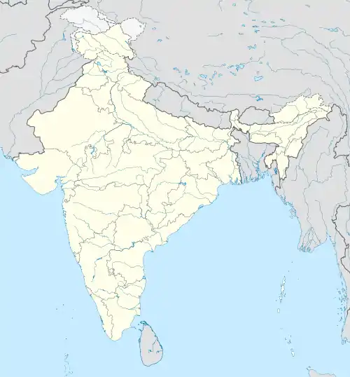
Baghpat (Hindi: बाघपत) ist eine Stadt im nordindischen Bundesstaat Uttar Pradesh.
| Baghpat | |||
|---|---|---|---|
| |||
| Staat: | |||
| Bundesstaat: | Uttar Pradesh | ||
| Distrikt: | Baghpat | ||
| Subdistrikt: | Baghpat | ||
| Lage: | 28° 57′ N, 77° 13′ O | ||
| Höhe: | 225 m | ||
| Einwohner: | 50.310 (2011)[1] | ||
Baghpat liegt in der nordindischen Ebene am Ostufer der Yamuna 35 km nördlich der Bundeshauptstadt Neu-Delhi. Die Stadt ist Verwaltungssitz des gleichnamigen Distrikts.
Die nationale Fernstraße NH 334B (Sonipat−Meerut) und die Uttar-Pradesh-Fernstraße 57 (Ghaziabad−Shamli) kreuzen sich in Baghpat. Baghpat besitzt als Stadt den Status eines Nagar Palika Parishad. Die Stadt ist in 25 Wards gegliedert. Beim Zensus 2011 hatte Baghpat 50.310 Einwohner.
Einzelnachweise
This article is issued from Wikipedia. The text is licensed under Creative Commons - Attribution - Sharealike. The authors of the article are listed here. Additional terms may apply for the media files, click on images to show image meta data.
